
OSMAnd
Comprehensive offline navigation app with detailed maps, turn-by-turn guidance, and specialized routing for hiking, cycling, and walking worldwide.
Open Source Alternative to:


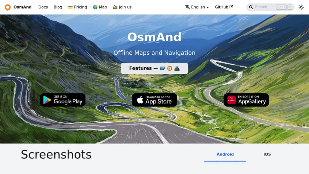
Navigate the world confidently with comprehensive offline maps that work anywhere without internet connection. Built on OpenStreetMap data, this navigation app delivers detailed turn-by-turn voice guidance and supports multiple transportation modes including driving, cycling, and walking.
Key Features:
- Complete offline functionality - no roaming charges or data usage required
- Detailed worldwide maps with POIs, hiking trails, and bike paths
- Advanced navigation with lane guidance, speed warnings, and automatic re-routing
- Specialized outdoor modes for hiking and cycling with contour lines and elevation data
- Privacy-focused open-source design that keeps your location data secure
Perfect for travelers, hikers, and cyclists who need reliable navigation in remote areas. The app includes Wikipedia integration for sightseeing, customizable map overlays, and the ability to record GPS tracks. Regular monthly updates ensure maps stay current, while the offline-first design makes it ideal for international travel and outdoor adventures where cellular coverage is limited.
Whether you're exploring city streets or mountain trails, this comprehensive mapping solution provides the detailed navigation tools you need without compromising your privacy or requiring constant internet connectivity.


Every Sunday we deconstruct one proprietary app and pick the best open source alternatives worth switching to.
Similar open source projects

Stars
Forks
Last commit
Stars
Forks
Last commit
Stars
Forks
Last commit
 Capture