Open Source Google Maps Alternatives
A curated collection of the 3 best open source alternatives to Google Maps.
The best open source alternative to Google Maps is Organic Maps. If that doesn't suit you, we've compiled a ranked list of other open source Google Maps alternatives to help you find a suitable replacement. Other interesting open source alternatives to Google Maps are: OSMAnd and CoMaps.
Google Maps alternatives are mainly Productivity & Utilities. Browse these if you want a narrower list of alternatives or looking for a specific functionality of Google Maps.
Written by Piotr Kulpinski


Free, open-source offline maps app with detailed trails, turn-by-turn navigation, and zero tracking. Perfect for hikers, cyclists, and travelers seeking privacy.
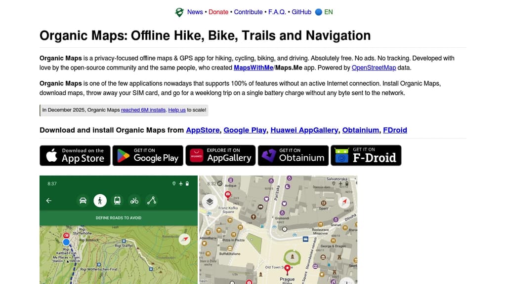
Organic Maps delivers comprehensive offline navigation without compromising your privacy. This free, open-source application provides detailed maps for hiking, cycling, driving, and walking - all without requiring an internet connection.
Key features include:
- Complete offline functionality - download maps once and navigate anywhere without data
- Detailed trail maps with cycling routes, hiking paths, and contour lines
- Turn-by-turn navigation with voice guidance for walking, cycling, and driving
- CarPlay and Android Auto support for seamless vehicle integration
- Import/export capabilities for KML, KMZ, GPX, and GeoJSON formats
- Wikipedia integration for location information
Privacy-focused design means no ads, no tracking, no data collection, and no registration required. The app respects your battery life and prevents unexpected mobile data charges.
Created by the original Maps.Me founders and powered by OpenStreetMap data, Organic Maps offers places and trails often missing from other mapping services. The application supports metro maps, elevation profiles, and fast offline search across downloaded regions.
Perfect for travelers, hikers, cyclists, and drivers who value privacy and reliable offline navigation. Countries and regions require minimal storage space, making it ideal for extended trips without internet access.
Looking for open source alternatives to other popular services? Check out other posts in the alternatives series and openalternative.co, a directory of open source software with filters for tags and alternatives for easy browsing and discovery.

Comprehensive offline navigation app with detailed maps, turn-by-turn guidance, and specialized routing for hiking, cycling, and walking worldwide.
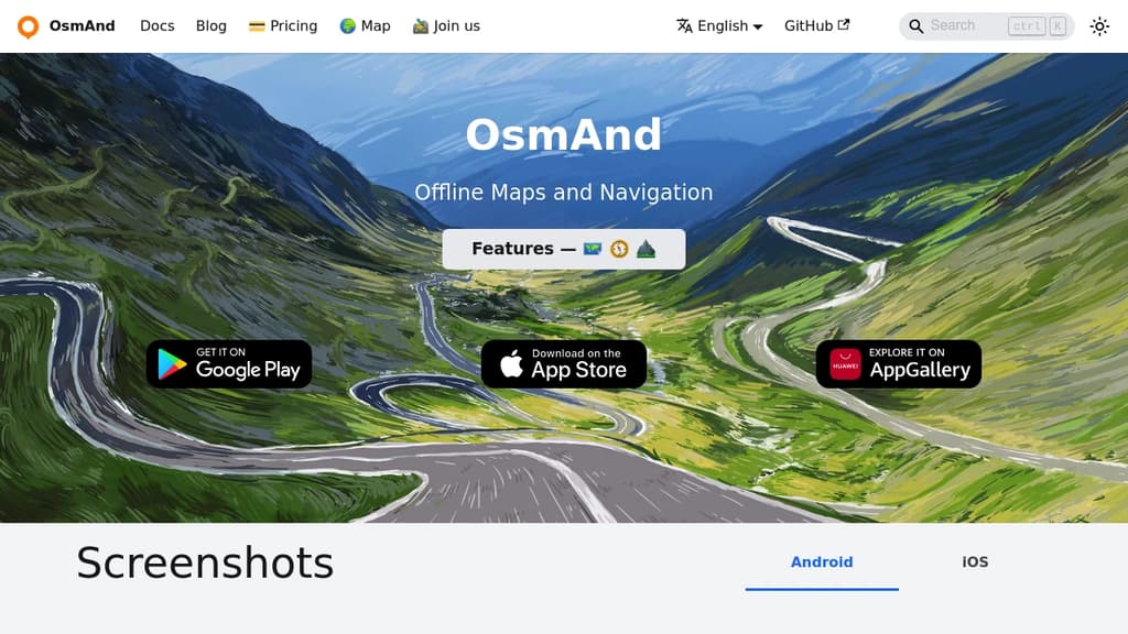
Navigate the world confidently with comprehensive offline maps that work anywhere without internet connection. Built on OpenStreetMap data, this navigation app delivers detailed turn-by-turn voice guidance and supports multiple transportation modes including driving, cycling, and walking.
Key Features:
- Complete offline functionality - no roaming charges or data usage required
- Detailed worldwide maps with POIs, hiking trails, and bike paths
- Advanced navigation with lane guidance, speed warnings, and automatic re-routing
- Specialized outdoor modes for hiking and cycling with contour lines and elevation data
- Privacy-focused open-source design that keeps your location data secure
Perfect for travelers, hikers, and cyclists who need reliable navigation in remote areas. The app includes Wikipedia integration for sightseeing, customizable map overlays, and the ability to record GPS tracks. Regular monthly updates ensure maps stay current, while the offline-first design makes it ideal for international travel and outdoor adventures where cellular coverage is limited.
Whether you're exploring city streets or mountain trails, this comprehensive mapping solution provides the detailed navigation tools you need without compromising your privacy or requiring constant internet connectivity.

Offline navigation app for hiking, biking, and driving. No tracking, no data collection, community-driven maps. Works without internet connection.
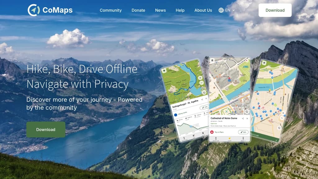
Navigate the world with complete privacy and freedom using this community-driven offline maps application. Whether you're hiking remote trails, biking through cities, or driving cross-country, explore confidently without internet connectivity or privacy concerns.
Key features include:
- Offline functionality - Plan and navigate trips abroad using only GPS, no mobile data required
- Zero tracking - No personal data collection, no user identification, completely private navigation
- Battery efficient - Optimized power usage that won't drain your device like traditional navigation apps
- Community-powered - Built by users who contribute locations, provide feedback, and develop features together
The app leverages open-source maps and is audited for privacy compliance. Search for waypoints on distant hiking trails, find bike paths in unfamiliar cities, or navigate driving routes without compromising your personal information.
As a fork of Organic Maps and Maps.Me, this project puts community collaboration and user privacy at the forefront of digital navigation, giving you the freedom to discover more of your journey on your own terms.
 Stellar Hosted
People are looking for alternatives to...